

Adaptive Kernel-Based Region Segmentation for Large-Scale Point Clouds
This project focuses on classifying traversable versus non-traversable space within large SLAM-generated point clouds, with the end goal of generating 2D obstacle and path planning maps for autonomous street-sweeping robots.
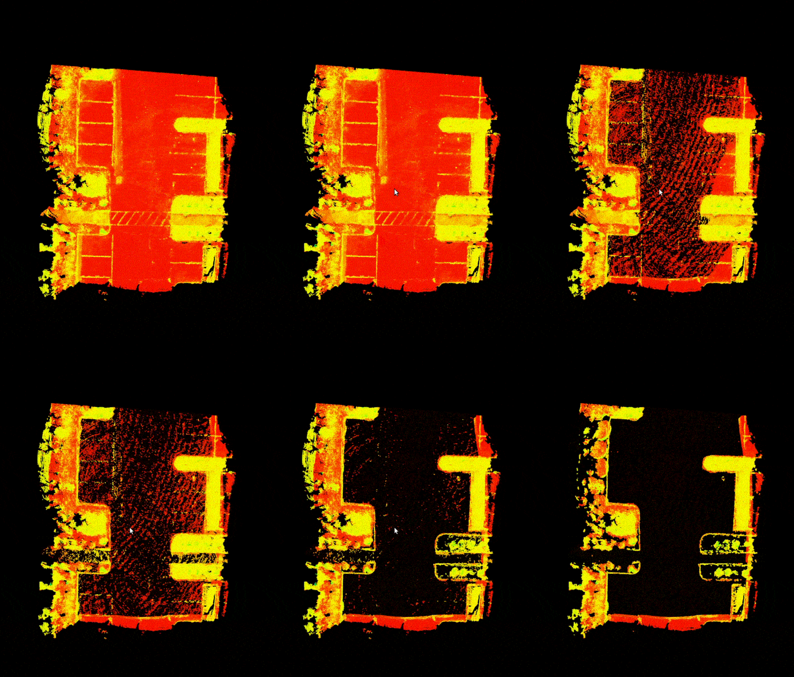
Highlights:
- Operates on a 2D raster representation of the point cloud, similar to many ground segmentation pipelines.
- Estimates ground height per raster cell using Huber M-estimation—a robust variant of least squares—to produce noise-tolerant and accurate elevation values.
- Applies region growing with an adaptive kernel to segment the map into traversable and non-traversable regions.
- Leverages GPU acceleration for all pre-processing using Open3D's tensor-based backend to ensure performance at scale.